Residential Development Potential
The owner of this Island Bay, Wellington property wanted to understand the potential for subdivision and building on their site. They have owned the property for years but this example could apply to a prospective owner or developer wanting to investigate the potential for development.
The AltaScene model was generated within days using only LiDAR data, without an on-site survey. This allows the designer a complete understanding of the development potential of the site, including potential building locations and potential subdivision boundaries - before deciding whether to proceed with the project.
When a cadastral surveyor is engaged for the subdivision scheme design, the AltaScene model integrates with on-site data and proposed boundaries.

.png)

Almost half the 2,020m² site is gorse covered hillside, difficult to access and not feasible to survey in detail. Neighbour properties border the top boundaries with a Scenic Reserve below.
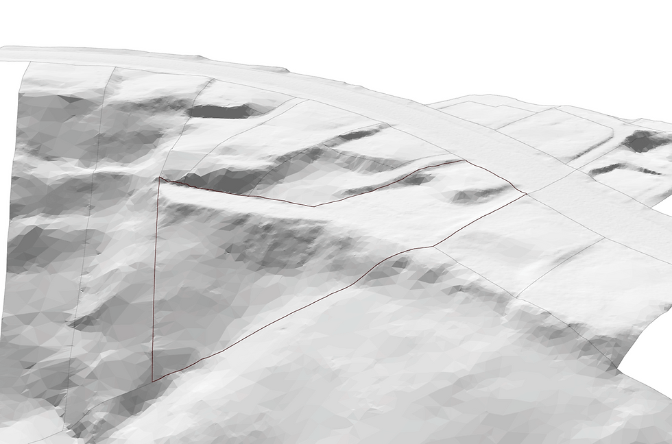
Terrain Model
The 2,020m² site contains 14,273 ground points. Despite the gorse this enabled creation of a detailed terrain model.
Boundaries are interpolated onto the terrain.
All surrounding properties and roads were modelled for environmental context.


Building Envelope
AltaScene’s solution generates a complete building envelope including Building Recession Planes and Height Limit.
The permitted activity envelope can be understood over every square meter of the site.
Roofs and Neighbouring Sites
New building platform selection will need to consider neighbouring houses.
All neighbouring roofs were modelled, from LiDAR, without a trip to the archives or manual modelling.
Roof models enable any potential development effects to be assessed during a bulk and location study. Natural light, shading and other amenity effects can be modelled accurately.


Model Import within Minutes
Our model file imports to your software platform in minutes - eliminating manual setup.
The terrain of the subject site generates a native terrain mesh or topo object.
All objects import to separate editable layers in local survey coordinates.